

GUSTS of up to 65-70 mph look set to batter the coastal areas of North Wales and the Snowdonia mountains.
After a wet and windy start to Tuesday, Storm Gareth looks set to bring a deep area of low-pressure travelling into the north of the UK into Wednesday, the Met Office is forecasting.
High winds are expected in parts of Northern Ireland, northern England, Wales and Scotland. Several "yellow" wind warnings have been issued across the UK.
In North Wales a MET office spokesperson said Storm Gareth, with its strong north-westerly winds, was likely to bring 50-55mph winds inland andup to 65-70 mph along western coasts, with Snowdonia, Anglesey and the Lleyn Peninsular taking the brunt.
Yellow warnings for wind are in place from today, Tuesday until 3pm, on Wednesday with travel disruption expected.
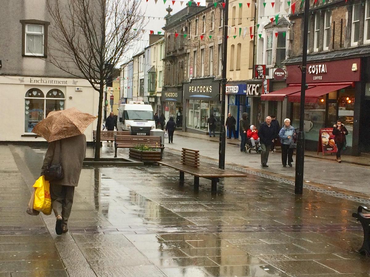
Heavy rain has also hit the region with Natural Resources Wales issuing flood alerts, with more rain expected.
Areas affected include: areas around the rivers of North West Wales, in the North Gwynedd catchment from Abergwyngregyn to Aberdaron, the River Dyssynni, from Tywyn to Minffordd, properties around Pont ar Ddyfi and the A487, areas of agricultural land and isolated properties in the Conwy Valley, areas around the river Conwy from Dolwyddelan to Conwy, areas around the River Mawddach and River Wnion, from Fairbourne to Ganllwyd and Rhydymain, areas around the river Glaslyn and river Dwyryd, from Dyffryn Ardudwy to Nant Gwynant and parts of Dolgellau from Marian Mawr Recreation Ground to Arran Road.


Comments: Our rules
We want our comments to be a lively and valuable part of our community - a place where readers can debate and engage with the most important local issues. The ability to comment on our stories is a privilege, not a right, however, and that privilege may be withdrawn if it is abused or misused.
Please report any comments that break our rules.
Read the rules here